The Islands and Geography of the Southern Dalmatian Coast
Here's a map of Croatia to help orient us on where we have been . . .

We have been focused on the Dalmatian Coast, which, as you can see above is the southern-most region of Croatia. We started in Dubrovnik and have been gradually making our way to Split, our final destination. Croatia has more than 1,100 islands.
Here is a map that is more focused on the Southern Dalmatian Coast from Dubrovnik up to Split:

On our way up the coast we have stopped at several fairly large islands including Sipan, Miljet, Korcula, Hvar, and Trogir. But there are hundreds of small islands that we can see from the boat nearly all the time.
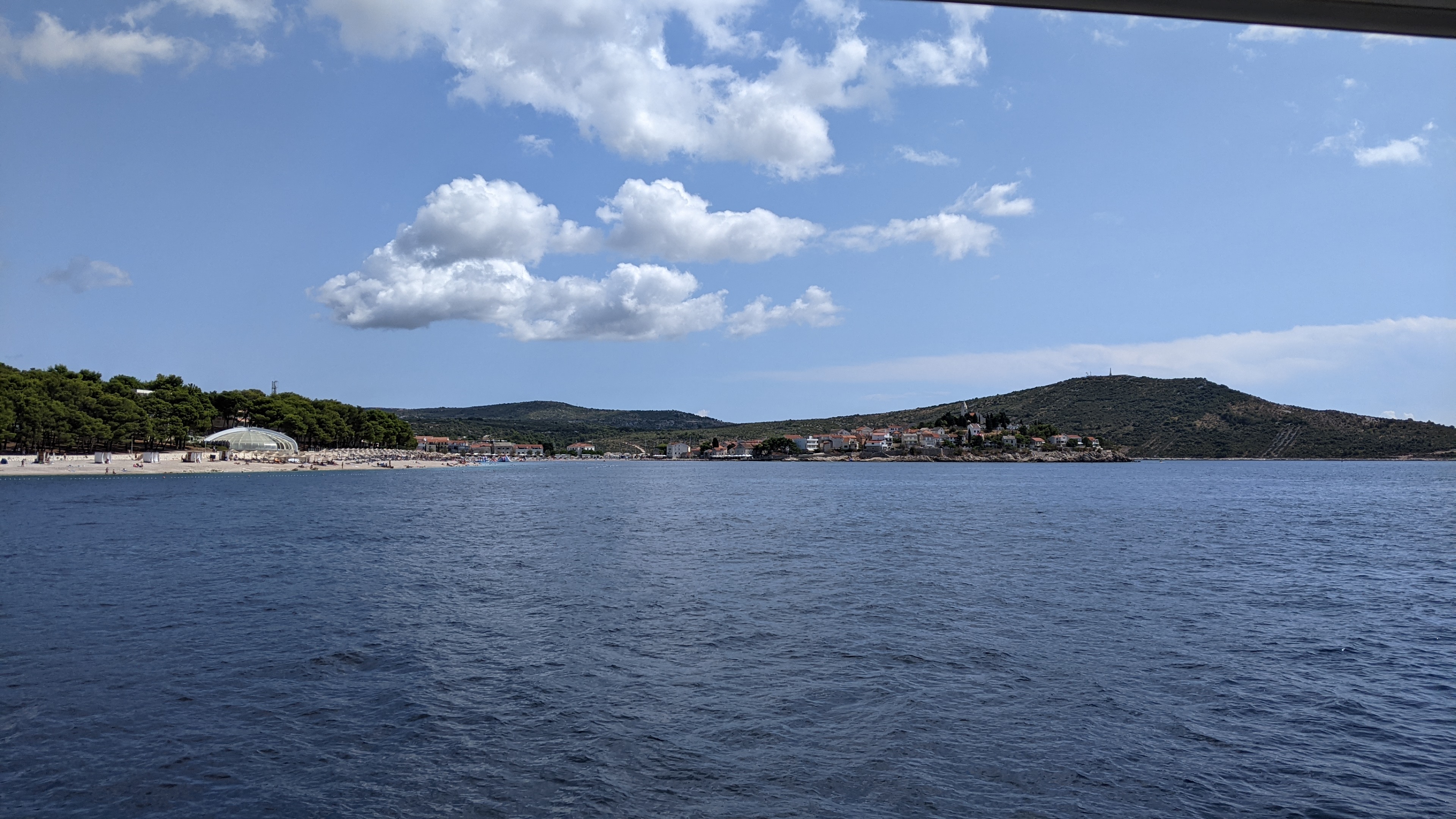
As we look at the coastline from the boat we can see mountains and shrubs and small forests. The sound of the cicadas are everywhere this time of year.

Here is a view of our boat, the Sunliner X from the town of Primosten. We took the speedboat to this small town and did some walking around and shopping. The small island behind the boat looks like so many of the small islands we see as we are cruising up the coast.


Very informative, Palmer. I appreciate this. I have been wanting to cruise this area and have worried that by now it would be too crowded, but with 1100 islands I don’t think it will be a problem finding quiet anchorages : )
ReplyDelete